Travel by automobile from Jammu to Srinagar provides a once-in-a-lifetime trip across the center of the breathtaking scenery of Jammu and Kashmir. This guide will take you through everything you need to know, from road conditions and itinerary preparation to main sites and transportation choices, whether you are a first-time visitor or a seasoned traveler.
Route Overview: Jammu to Srinagar by Road
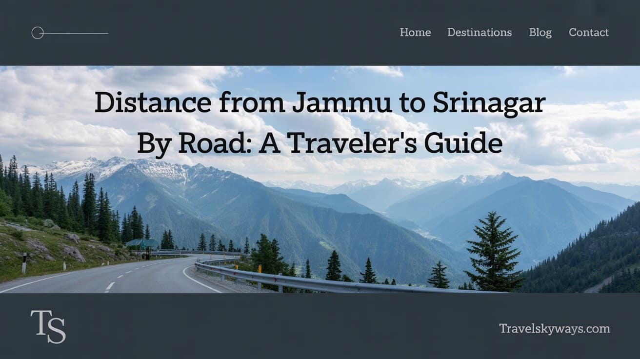
It will take you a minimum of two to five hours, depending on your mode of transport. The Jammu-Srinagar road is quite beautiful and takes one on an enchanting journey through deep gorges, tall tunnels, and quaint mountain settlements.
Must Read: Complete Travel Guide to Chile: Best Tours, Places to Visit, Things to Do & Tips
Understanding The Conditions Of The Road And Infrastructure
The best roads in Jammu-Srinagar may still be affected due to weather. In monsoons or winter snow, some sections–mainly around Banihal and Patnitop–may get landslides. By Banihal Qazigund road tunnel and Chenani-Nashri tunnel, all weather conditions have significantly eased comforts of travel and travel safety.
Must Read: Delhi to Ladakh by Train: A Journey to the Himalayas
Weather Related Impediments
The state of the weather would be particularly important during your journey. Landslides can happen with monsoon showers lasting from July to September; winters are affected from December to February by snowfall-related closures. The maximum safety for travel occurs between March and June or from September to November when the roads are mostly open and weather fair.
Safety Factors
Generally speaking safe, the route provides travel security by means of regular military and police presence. Before beginning your trip, you should, however, consult local advisories and traffic reports.
Must Read: Rishikesh for the Solo Queen: A Trip You’ll Never Forget
Preparing for the Journey
Here are a few tips to make your journey comfortable and safe:
- Start early in the morning to avoid traffic jams and ensure daytime travel.
- Keep snacks, water, and medicines handy.
- Download offline maps in case of poor network coverage.
- Check for highway and tunnel updates before departure.
Major Stops & Distance Breakdown
| Route Segment | Distance (km) | Travel Time |
| Jammu to Udhampur | 65 km | 1.5 – 2 hours |
| Udhampur to Patnitop | 46 km | 1.5 hours |
| Patnitop to Ramban | 43 km | 1 – 1.5 hours |
| Ramban to Banihal | 44 km | 1.5 – 2 hours |
| Banihal to Qazigund | 21 km | 45 minutes |
| Qazigund to Srinagar | 80 km | 1.5 – 2 hours |
Total Distance: ~ 270–300 km
Estimated Travel Time: 7–9 hours (depending on traffic and weather)
Route Map and Wayfinding
Utilize offline apps like Maps. me or Google Maps powered by GPS. Many paths travel NH44 with distinct sign panels along the way. Watch for bypass roads and tunnels that cut travel time.
Transportation Options
By highway (taxi or car)
The most scenic and flexible choice is available with vehicle rentals and shared taxis in Jammu.
By Bus
- JKSRTC and private operators offer daily services.
- Travel Time: 7–9 hours
- Fare: ₹500 – ₹700 (approx.)
By taxi and train
From Jammu you can board a train for Banihal; thereafter travel by shared vehicle or taxi.
By Flight (Alternative to Road Travel)
Fastest mode: 40 minutes flight time.
Cost: ₹1600–₹2500 (may vary seasonally)
Travel Cost Overview
| Mode | Time | Approx. Cost |
| Private Car/Taxi | 7–9 hours | ₹3000–₹5000 |
| Bus | 7–9 hours | ₹500–₹700 |
| Train + Taxi | 6.5–8 hours | ₹1200–₹2000 |
| Flight | 40 minutes | ₹1600–₹2500 |
Places to Eat Along the Way
- Udhampur: Local Dhabas and Vaishno Bhojanalayas
- Patnitop: Hill-top cafes with great views
- Ramban & Banihal: Small eateries offering North Indian meals
- Qazigund: Known for wazwan-inspired snacks
Alternative Waypoints
Although some visitors examine Mughal Road (through RajouriShopian), NH44 is the primary route; however, it is longer and seasonal.
Must Read: Explore Argentina: Top Destinations, Tours & Travel Tips for an Unforgettable Journey
Final Travel Tips
- Always check the Srinagar-Jammu highway update a day before travel.
- Avoid night driving in hilly stretches.
- Carry warm clothes—even in summer, weather in Patnitop and Banihal can be chilly.
FAQ’S
Are Srinagar and Jammu separated by route distance?
Distance will fall within 270 to 300 kilometers depending on route and diversion. Most tourists used to travel through Jammu- Srinagar National Highway, NH44.
Driving or bus from Jammu to Srinagar?
Usually taking seven to nine hours, the trip will be affected by road conditions, weather, and traffic.
Without injury, can guests take the Jammu to Srinagar route?
Constant army and police check-posts along the way keep the route mostly safe. Wise before your trip is reading travel advisories and weather reports.
Road trip from Jammu to Srinagar would be best?
March to June and September to November offer the best possibilities for vacationing as the road is often open and clean and the weather is lovely.
Along the Jammu to Srinagar route, are food and rest stops available?
There are several Dhabas, tiny hotels, and elegant restaurants along the highway, especially in Udhampur, Patnitop, and Ramban and Qazigund.
Conclusion
The road from Jammu to Srinagar is a great treasure trove of adventure, culture, and spectacular sights for it brings a perfect balance into the scale. Such an everlasting adventure, a roller coaster with mountains, tunnels, and small-town streets is a beautiful journey.
The drive can be made a lot easier and pleasurable with careful planning, keeping in mind the climatic conditions and constant updates. Road from Jammu to Srinagar is among the most satisfying methods to see the heart of Kashmir whether you are traveling alone, with buddies, or with family. Prepare your bags for something great!

Travels skyways helps you plan your perfect journey with expert tips, destination guides, travel hacks, and budget advice. Whether it’s a quick getaway or a dream vacation, we’re here to guide your adventure from start to finish.

